Puebla, Mexico
General Information
Administrative status
Capital of the State of Puebla
Historic Center of Puebla
Registration Year
1987
Historical function
Politics and industry
Location and site
Between the two ranges of the Sierra Madre, not far from volcanic summits, Puebla is situated in a high fertile valley at 2,000 m. above sea level. Southeast of Mexico, it was on the route that connected the capital to the port of Vera Cruz, close to the pre-Hispanic city of Cholula.
Urban morphology
Puebla extends through the Cuetlaxcoapan Valley as a rectilinear grid made up of relatively wide streets. While most of the major arteries follow the regular orientation of the plan, one main street, the “Diagonale de los Defensores de la Republica,” crosses the city on a diagonal. Puebla’s Zocalo, the central esplanade of the historic area, is considered one of the great achievements of colonial urban planning.
Puebla is a large city with several sumptuous 18th-century Baroque churches and a number of convents. Its colonial architecture is famous for its colourful glazes (azulejos). This material, which is used for the cupolas of the churches and the walls of the dwellings alike, ensures the unity of the architectural landscape.
Registration criteria
Criterion (ii): Puebla’s strategic location on a major transportation corridor permitted the exportation of its regional style of Baroque architecture, a fusion of European and indigenous styles, after the 16th century. The urban design of the historic centre based on a Renaissance grid plan has exerted a considerable influence on the creation of colonial cities across the country.
Criterion (iv): As an untouched urban network, the Historic Centre of Puebla is composed of major religious buildings such as the Cathedral, the churches of Santo Domingo, San Francisco, and the Jesuit Church, superb palaces including the old archbishop’s palace the location of the Palafox Library, the university, and many houses whose walls are covered with gaily coloured tiles (azulejos).
Historical reference
- The colonial site of Puebla played a major role in the history of New Spain and Mexico. Its urban design, which dates to the 16th century and was inspired by the Renaissance, influenced the development of other cities in the New World.
- In 1539 Puebla became the Episcopal See and then experienced rapid development. By the 17th century, it had supplanted Cholula, which was 12 km. away.
- After enjoying prosperity in the 18th century, Puebla became the site of a series of confrontations in the 19th century. In particular, it was the site of most of the popular struggles related to the establishment of Independent Mexico and the revolutionary movement of 1910.
- In 1862, the French expeditionary force was defeated by the Mexicans in Puebla; this feat is celebrated on Mexico’s National Day. Following the Reform laws of 1857, and especially after 1880, the city underwent development, including the construction of new parks and avenues which, since 1950, have enjoyed spectacular growth in all four directions.
Photos

News
30 July 2024
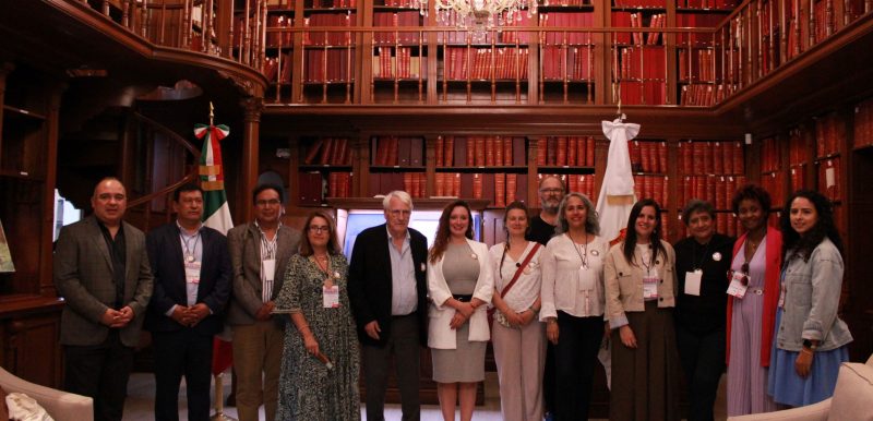
International workshop of the Collaborative Network of Puebla
Puebla, Mexico
Latin America
Québec Roadmap

21 November 2023
Preparatory meeting for the Roadmap in Puebla (Mexico) – 16-17 November 2023
Puebla, Mexico
Québec Roadmap
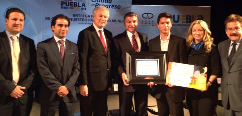
1 April 2014
‘’My city, our World Heritage’’ video competition – Awarding of prize in Publa, Mexico
Puebla, Mexico

30 January 2012
International Video Production Competition “My City, Our World Heritage” – Interview with the Mayor of Puebla
Puebla, Mexico
Contact
Sr. José Chedraui Budib
Presidente Municipal Constitucional de Puebla
Ayuntamiento del Municipio de Puebla
Av. Don Juan de Palafox y. Mendoza 14, Centro histórico de Puebla
Puebla, México
72000
222 309 4400
[email protected]
Sra. Aimée Guerra Pérez
Titular de la Gerencia del Centro Histórico y Patrimonio Cultural
Ayuntamiento del Municipio de Puebla
Calle 3 sur 1508, Col. El Carmen
Puebla, Puebla, México
72530
Find Us
Espace Quatre Cents
100, Quai Saint-André, Bureau 140
Québec (Québec) G1K 3Y2
Canada
+1 418 692-0000
Confidentiality Policy
Social Media Policy