Kotor, Montenegro
General Information
Administrative status
Fortified city on the Adriatic coast of Montenegro
Natural and Culturo-Historical Region of Kotor
Registration Year
1979
Historical function
Artistic and commercial
Location and site
The Natural and Culturo-Historical Region of Kotor is located in the Boka Kotorska Bay, on the Adriatic coast of Montenegro.
Urban morphology
Nestled in the mountainous landscape of Boka Bay, Kotor retains its medieval charm despite past earthquakes. Its narrow streets and numerous Roman-Byzantine, Gothic, and Renaissance structures, including the cathedral, churches, and palace, reflect its historical ties to Rome, Byzantium, the Balkans, and Western Europe.
Registration Criteria
Criterion (i): It is the gathering on the gulf coast of the monuments of the cities, their harmony with the landscape, and their insertion in town planning of great value that contributes to the Outstanding Universal Value of the property.
Criterion (ii): As the main bridge-heads of Venice on the South coast of the Adriatic, the aristocratic cities of captains and ship-owners of Kotor and its neighbors were the heart of the region’s creative movement for many centuries. Its art, goldsmith, and architecture schools had a profound and durable influence on the arts of the Adriatic coast.
Criterion (iii): The successful harmonization of these cities with the Gulf, the quantity, quality, and diversity of the monuments and cultural properties, and especially the exceptional authenticity of their conservation, mean that the property can effectively be considered as unique.
Criterion (iv): Kotor and Perast are highly characteristic and authentically preserved small cities enhanced by the architecture of great quality. Their town planning is well adapted to and integrated into the landscape.
The transnational nomination of Venetian fortifications from the 16th and 17th centuries in Italy, Croatia, and Montenegro was accepted at the 41st UNESCO World Heritage Committee session in Krakow in July 2017. Six of the 15 nominated components were inscribed: Bergamo, Peschiera del Garda, and Palmanova in Italy; Zadar and the St. Nikola fortress in Šibenik, Croatia; and the Kotor Fortress in Montenegro, making Kotor listed on UNESCO for two criteria.
Inscribed in 2021 (16.COM) on the Representative List of the Intangible Cultural Heritage of Humanity, Boka Navy is a traditional, non-governmental maritime organization founded in Kotor, Montenegro in 809. Its origin is linked to the arrival of the relics of St. Tryphon, the patron saint of the city of Kotor.
Historical Reference
The rich history of Kotor comes from the cultural heritage of the city, marked by the different eras and leaders of the previous centuries.Kotor was founded by the ancient Romans as Acruvium. In the 10th century, it was an autonomous city ruled from Byzantium, and from 1186 to 1371 it was a free city of medieval Serbia.
It was Venetian and Hungarian for brief periods, an independent republic from 1395 to 1420, and Venetian again until 1797 The town suffered periodic damage from Turkish assaults and earthquakes. Between 1807 and 1814 it was occupied by France. The French period was followed by Austrian domination until 1918 when Slav sailors in the Austro-Hungarian navy mutinied at Kotor and the town was incorporated into the Kingdom of Serbs, Croats, and Slovenes (from 1929 to 2003 Yugoslavia). Today, Kotor is a part of Montenegro, which became independent in 2006.
Source: https://whc.unesco.org/en/list/125/
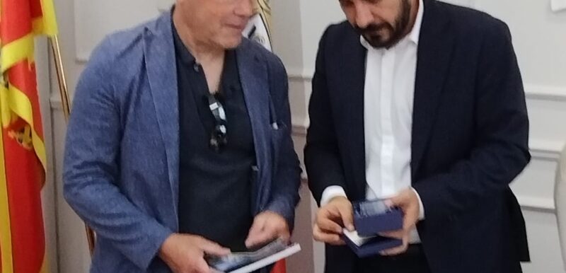
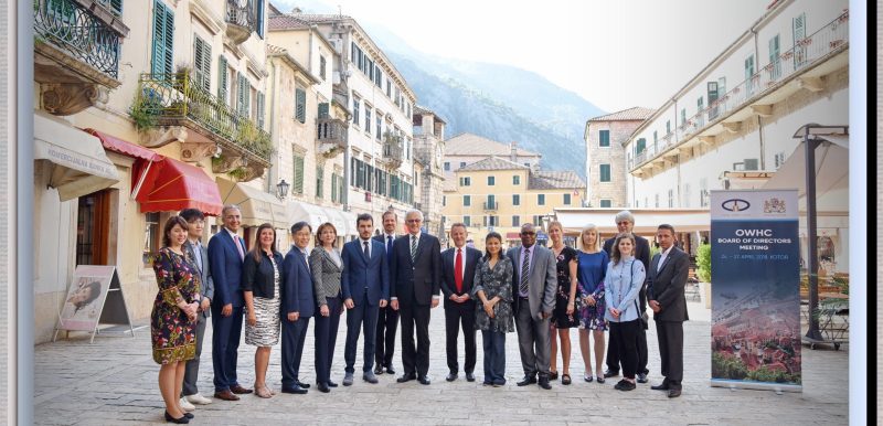
More about KotorPhotos

News
24 June 2026
Kotor Takes Action to Strengthen Risk Management in Its Historic Centre
Kotor, Montenegro
Assistance Program in case of Emergencies

Contact
Mr. Vladimir Jokić
Mayor
Municipality of Kotor
Stari grad 317
Kotor, Montenegro
85330
+382 32 325 862
[email protected]
Ms Jelena Stjepčević
Head of office for international cooperation
Municipality of Kotor
Stari grad 317
Kotor, Montenegro
85330
+382 69 304 716
[email protected]
Find Us
Espace Quatre Cents
100, Quai Saint-André, Bureau 140
Québec (Québec) G1K 3Y2
Canada
+1 418 692-0000
Confidentiality Policy
Social Media Policy