Oporto, Portugal
General Information
Administrative status
Coastal town located in the northwest of Portugal
Historic Centre of Oporto, Luiz I Bridge and Monastery of Serra do Pilar
Registration Year
1996
Historical function
Industrial, commercial and port
Location and site
Short distanced from the Atlantic, Porto rises like an amphitheater on the right bank of the Douro. Upstream, the famous vineyards spread over schist soils.
Urban morphology
The undulating city extends to the very bank of the Douro. Around the cathedral (12th century), medieval heart of the city and its highest point, the urban fabric is tight. However, it associates the narrow and winding streets with the straight lines of the Renaissance. It also opens onto gardens, parks and urban squares including Praça da Liberdade, the center of Porto, as well as river views. Remains of the old walls (12th and 14th centuries) and doors recall the old system.
The architectural landscape of Porto is dense and rich. Narrow and tall buildings are combined with a complex monumental ensemble whose Romanesque, Gothic, Renaissance and classical elements as well as metallic architecture (19th century) reflect the stages of history. In this setting arise, in all their splendor, the great Baroque achievements, particularly those of Nazzoni: church of Clerigos, Episcopal Palace, and other facades of churches and palaces.
Registration criteria
Criterion (iv): The Historic Centre of Oporto, Luiz I Bridge and Monastery of Serra do Pilar with its urban fabric and its many historic buildings bears remarkable testimony to the development over the past thousand years of a European city that looks outward to the sea for its cultural and commercial links.
Historical reference
- Built on a Phoenician site, the Roman fortress dominates a river and maritime crossroads. The site of Portus Cale (so designated by the Romans) extends over both banks of the Douro.
- Invaded by the Suevi, the Visigoths and the Normans (5th-8th century), then by the Arabs (8th century), the estuary town asserts itself strategically.
- Around the city, Portucale (hence the name of Portugal), the future kingdom of Portugal is formed (1143). By his victories over the Moors, the king, Alfonso I Enriquez, the Conqueror, extends the territory of the State. Portucale was its capital until 1174.
- The Fernandine wall (1376), on the right bank, which succeeds the 12th century wall, encompasses the new districts of Porto down to the river. On the same bank, the Customs and the Coin house were created (14th century) and, shortly after, the Stock Exchange (15th century). Already, the vineyards are famous.
- The Treaty of Methuen (1703), which promotes wine trade with England, marks the beginning of an urban expansion. We are witnessing a Baroque architectural flowering.
- In the 19th century, marked by social and political unrest, the city expanded, and its center moved away from the river. A railway bridge that crosses the Douro (the D. Maria bridge), designed by Gustave Eiffel (1875), facilitates land links which thus increase.
Photos

News
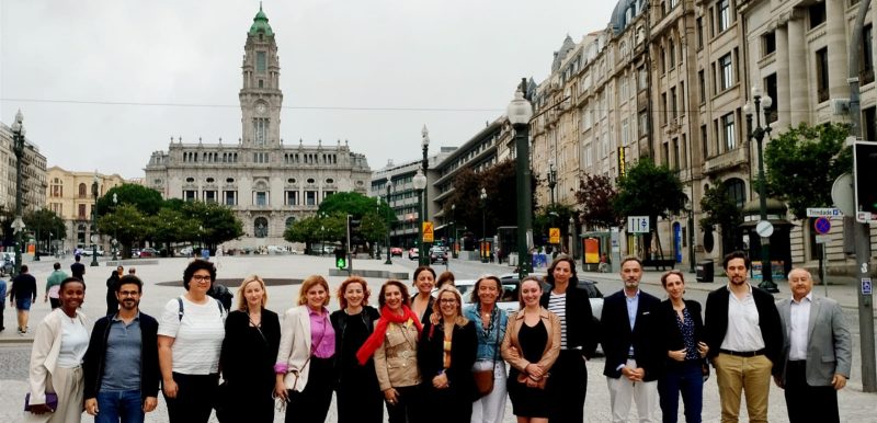
2 July 2024
The Regional Secretariat for Southern Europe and the Mediterranean holds two meetings in Oporto
Oporto, Portugal
Southern Europe and Mediterranean
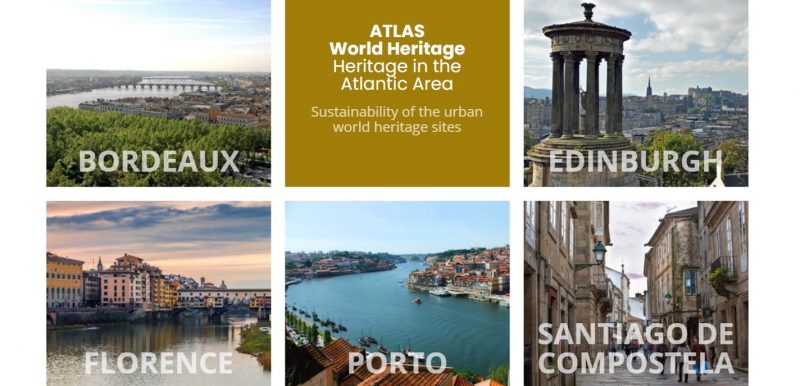
10 December 2020
AtlaS.World Heritage – Heritage in the Atlantic Area. Sustainability of the Urban World Heritage Sites
Oporto, Portugal
Southern Europe and Mediterranean
Contact
Mr. Pedro Duarte
Mayor
Porto City Hall
Praça General Humberto Delgado
Porto, Portugal
4049-001
351 222097188
[email protected]
Find Us
Espace Quatre Cents
100, Quai Saint-André, Bureau 140
Québec (Québec) G1K 3Y2
Canada
+1 418 692-0000
Confidentiality Policy
Social Media Policy